Keyword
Transport networks
174 record(s)
Provided by
Type of resources
Available actions
Topics
Keywords
Contact for the resource
Update frequencies
Service types
-

INSPIRE theme Water Transport Network (shipping routes). The maritime data of the BSH for INSPIRE Transport Networks describe the water transport network for maritime navigation in the area of responsibility of the Federal Maritime and Hydrographic Agency (BSH) as well as its associated infrastructure facilities.
-

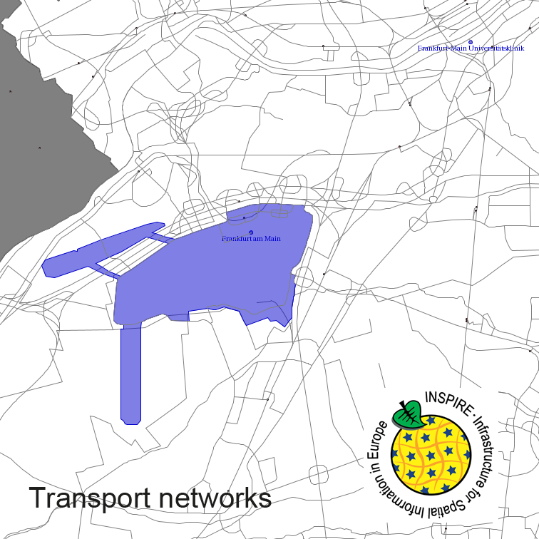
Transport Networks of Germany, derived from the german digital landscape model at scale 1:250000. Mapped via EuroRegionalMap to satisfy INSPIRE and European Location Framework conformance. The dataset contains the road, railway, water and air network and is available as Open Data.
-

INSPIRE theme Water Transport Network (shipping routes). The maritime data of the BSH for INSPIRE Transport Networks describe the water transport network for maritime navigation in the area of responsibility of the Federal Maritime and Hydrographic Agency (BSH) as well as its associated infrastructure facilities.
-

This inventory of traffic areas in the city of Brunswick, Germany, is based on image sequences acquired during six flight campaigns at different times of the day and year in 2019 and 2020. Each aerial image is segmented by a neural network into the classes (1) Parking area, (2) Road, and (3) Access way, with the latter two classes differing in terms of their primary transportation function (mobility versus access). The individual segmentations are subsequently merged, since in addition to dedicated parking areas, those traffic areas that are regularly used for parking a motorized vehicle (e.g., at the curbside) are also to be classified as such. Furthermore, the multitemporal fusion enhances the robustness and completeness of the traffic area map (TAM). Potential applications include: urban planning, traffic modeling, and parking management. For more information about the project, the reader is referred to: https://elib.dlr.de/191145/1/Hellekes_et_al_2022_Parking_space_inventory_from_above.pdf
-

INSPIRE theme Water Transport Network (shipping routes). The maritime data of the BSH for INSPIRE Transport Networks describe the water transport network for maritime navigation in the area of responsibility of the Federal Maritime and Hydrographic Agency (BSH) as well as its associated infrastructure facilities.
-
Radwegdaten für die INSPIRE-konforme Ausgabe für das Amt Neuburg
-
Radwegdaten für die INSPIRE-konforme Ausgabe für das Amt Neuburg
-
Radwegdaten für die INSPIRE-konforme Ausgabe für das Amt Neuburg
-
EuroRegionalMap country contribution provides a geographic database for topographic data that will be maintained at the source level by the National Mapping and Cadastral Agencies (NMCAs), and by providing harmonized access conditions within the framework of EuroGeographics.
-
EuroRegionalMap country contribution provides a geographic database for topographic data that will be maintained at the source level by the National Mapping and Cadastral Agencies (NMCAs), and by providing harmonized access conditions within the framework of EuroGeographics.
 www.geodatenkatalog.de (S2L)